

Nitmiluk National Park: Into the Stone‑Carved Corridors of Katherine Gorge
Jawoyn Country’s river maze delivers big views, bigger stone, and a dry‑season rhythm made for adventure
At first light the sandstone walls glow the color of embered coals, and the Katherine River exhales a cool breath across the stillness. Cicadas start their machinery in the trees, the park’s namesake waking like a switch flipped—Nitmiluk, place of the cicada. The river looks calm, but it has a way of nudging you forward, of daring you to slip your paddle blade into its tea‑dark water and follow its bends into a labyrinth of 13 gorges. The cliffs close in and the day’s heat begins its steady climb. The country speaks in layers here—geology, culture, and the quiet logic of survival in the Top End.
Trail Wisdom
Beat the heat
Start at sunrise and be off the exposed sections by early afternoon; temperatures can exceed 35°C even in the shoulder months.
Croc-wise swimming
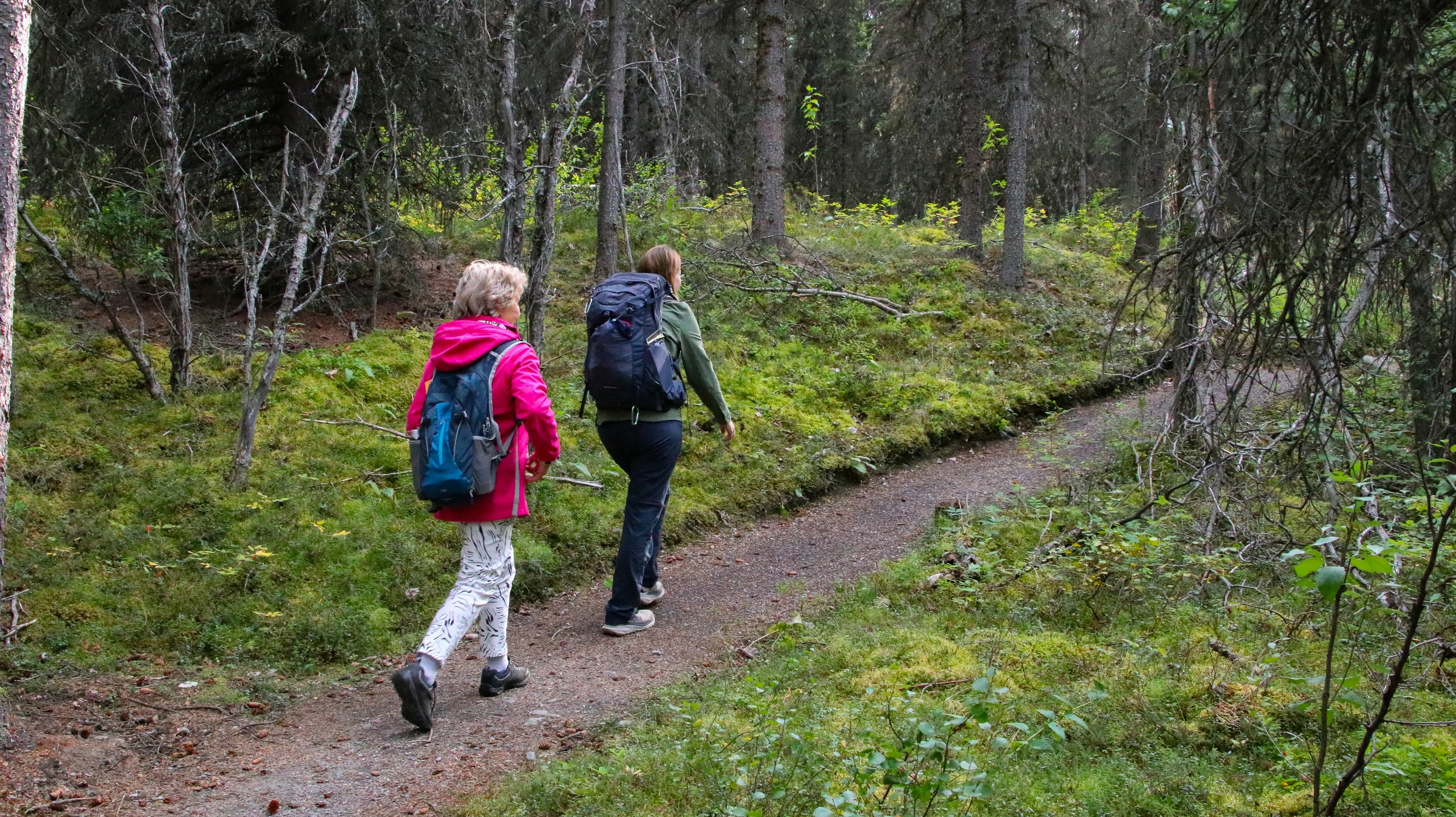
Only swim in areas signed open and crocodile-managed—conditions change, and rangers update safety notices daily.
Portage-ready canoeing
If paddling, expect short portages between gorges; wear closed-toe sandals and pack a small trolley if you have one.
Carry real water
Bring at least 3–4L per person for a half-day; refill at the visitor centre as natural sources can be unsafe untreated.
Local Knowledge
Hidden Gems
- •Baruwei Lookout at sunset for a sweeping view down the first gorge
- •Southern Rockhole, which can flow after rains and is best reached in cooler hours
Wildlife
Freshwater crocodiles, Red-tailed black cockatoos
Conservation Note
Stick to signed tracks and respect cultural site closures; pack out all rubbish and avoid soaps or sunscreen runoff in natural pools.
Nitmiluk means 'place of the cicada' in Jawoyn; the land was returned to the Jawoyn people in 1989 and is co-managed with Parks and Wildlife NT.
Seasonal Guide
spring
Best for: Sunrise hikes to Baruwei Lookout, First-of-season canoe sessions
Challenges: Rising heat, Occasional early storms
September–November brings warming temperatures and longer, bright days. Start early and watch for the first pre-monsoon build-up storms.
summer
Best for: Dramatic storm watching from safe vantage points, Short interpretive centre visits
Challenges: Monsoonal rain and closures, High humidity, Crocodile movement
December–February is wet-season country—expect heavy rain, flooding, and frequent access restrictions. Many water activities close.
fall
Best for: Shoulder-season hiking, Cooler evenings for camping
Challenges: Lingering humidity early in the season
March–May sees conditions stabilise and trails reopening. By May, canoeing and cruises usually ramp up as crocodile management clears zones.
winter
Best for: Canoe trips through the first gorges, Jatbula Trail thru-hike
Challenges: Cooler mornings, Popular periods book out early
June–August is the dry-season sweet spot—clear skies, mild temps, and peak access. Secure permits and tours well in advance.
Photographer's Notes
What to Bring
3L Hydration Reservoir or BottlesEssential
Staying hydrated is paramount in Top End heat, even on short hikes or paddles.
Wide-Brim Hat & UPF ClothingEssential
Relentless sun and reflective sandstone make full-coverage sun protection crucial.
Closed-Toe Sandals or Light HikersEssential
Useful for rocky tracks and canoe portages where you’ll be in and out of the water.
Dry Bag (10–15L)
Protects cameras, phones, and snacks from paddle drips and surprise dunks.
Common Questions
What’s the best time of year to visit Nitmiluk National Park?
The dry season (May–September) offers the most reliable access for cruises, canoeing, and hiking, with clear skies and manageable temperatures.
Can I swim in the gorges?
Only in areas signed open and crocodile-managed; conditions change throughout the season and rangers update safety signage daily.
How far is Nitmiluk from Katherine?
The visitor centre and main boat ramp are about 30 km northeast of Katherine on sealed roads (roughly a 25–30 minute drive).
Do I need a permit to canoe or camp?
Canoe hire requires a booking and safety briefing; overnight canoe trips and the Jatbula Trail require permits booked well in advance.
Are guided tours available?
Yes—multiple cruise options run daily in the dry season, and guided walks operate seasonally. Booking ahead is recommended in peak periods.
Is the park suitable for families?
Yes. Opt for shorter walks, shaded cruise departures, and carefully follow swimming and heat-safety guidance with children.
What to Pack
3–4L of water per person to outpace the Top End heat; UPF sun protection and a wide-brim hat to shield against reflective sandstone; sturdy closed-toe sandals or light hikers for rocky tracks and canoe portages; swimwear and a quick-dry towel for designated safe swimming spots.
Did You Know
Nitmiluk comprises 13 sandstone gorges carved by the Katherine River and is co-managed with the Jawoyn people; the 62 km Jatbula Trail follows an ancient Songline to Leliyn/Edith Falls.
Quick Travel Tips
Book cruises, canoe hire, and Jatbula permits weeks to months ahead in the dry season; Start at sunrise to avoid midday heat; Fuel up and restock water in Katherine before driving to the park; Check the Nitmiluk Visitor Centre’s daily croc and access updates before swimming or paddling.
Local Flavor
After a dawn paddle, head back to Katherine for strong coffee and breakfast at The Finch. Cool off at the Katherine Hot Springs, then circle back for sunset at Baruwei. For dinner, Marksie’s Stockman’s Camp Tucker Night offers a uniquely local bush-food experience when in season—book ahead.
Logistics Snapshot
Closest airport: Darwin International (DRW), 320 km north; Katherine is the regional base. Trailhead: Nitmiluk Visitor Centre, 30 km from Katherine on sealed roads. Cell service: Patchy to none beyond the visitor hub. Permits: No general park entry fee; canoe hire, overnight canoeing, and the Jatbula Trail require bookings/permits.
Sustainability Note
This river corridor is sensitive habitat and a cultural landscape—pack out all waste, use designated campsites, and never approach or feed wildlife. Obey swimming closures to protect both people and crocodiles.
Continue Reading

Canyon Wave: Rafting Denali’s Glacial Heart on the Nenana River
The Nenana River doesn’t whisper—it urges you forward. On the Canyon Wave run, you’ll punch through crisp, glacial rapids beneath Denali’s ramparts, trading roadside views for a front-row seat to Alaska’s wild hydraulics. Cold water, big smiles, and a canyon that knows how to keep pace.
Healy, Alaska
Chasing Light in Denali: An Afternoon Hike Across Taiga and Tundra
Trade the tour bus for tundra. This guided afternoon hike threads from shadowed spruce to open ridgeline, where Denali’s valleys breathe wide and the wind calls the cadence. Come for the views, stay for the stories beneath your boots.
Denali Park, Alaska