

Into the Green: Hiking Sage Mountain National Park on Tortola
A cool, forested climb to the highest point in the Virgin Islands—then back to the beach by lunch.
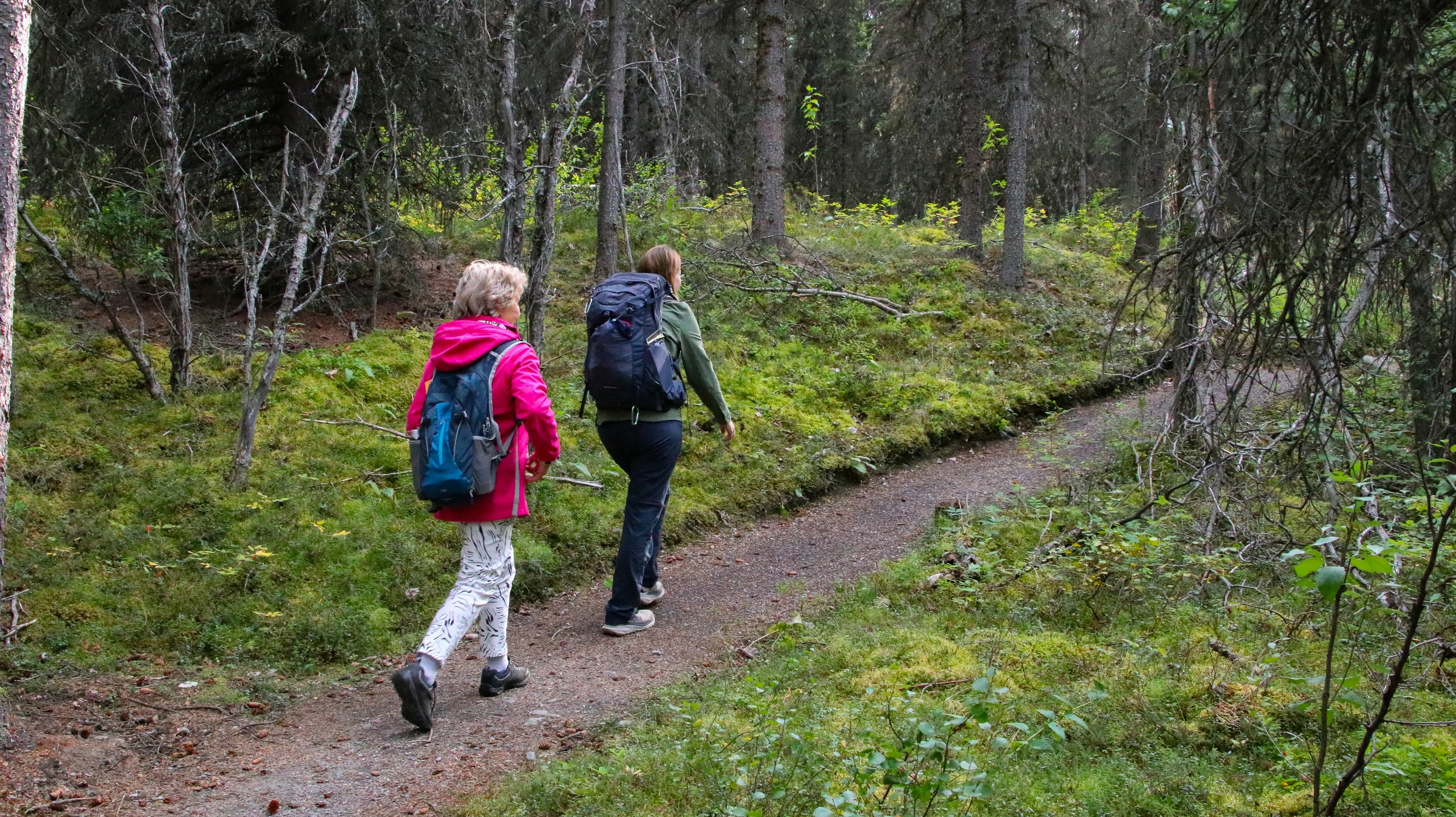
The road climbs like a question mark, curling up Tortola’s spine until the pavement gives way to emerald hush. Trade winds comb the canopy. Tree ferns bow and unbow as clouds loosen a brief, warm sprinkle—the mountain’s way of saying hello. At the trailhead of Sage Mountain National Park, the island noise falls away. Roots thread the path like old stories, and every step slips you into cooler air, a notch above the Caribbean heat where the forest keeps its own time.
Trail Wisdom
Start Early for Clearer Views
Morning air is cooler and less hazy, giving you the best chance for long sightlines over Cane Garden Bay and the outer islands.
Grip Over Glamour
Wear shoes with sticky tread—roots and rocks get slick after passing showers, and flip-flops won’t cut it.
Pack a Lightweight Shell
Brief squalls are common; a compact rain jacket keeps you dry without adding weight in the heat.
Download an Offline Map
Cell service can fade under canopy; save the park map or snap a photo at the trailhead to navigate the loop junctions.
Local Knowledge
Hidden Gems
- •Ridge Road pullouts east of the park for big-sky panoramas toward Beef Island
- •A short spur on the North Shore loop that frames Cane Garden Bay through the trees—best in morning light
Wildlife
Bananaquit, Antillean Crested Hummingbird
Conservation Note
Stay on marked paths to protect fragile seedlings and prevent erosion. Brush mud from shoes after hiking to avoid transporting invasive seeds to other trails.
Sage Mountain protects one of the highest remaining tracts of native moist forest in the Virgin Islands and occupies former plantation land now reclaimed by trees.
Seasonal Guide
spring
Best for: Shoulder-season tranquility, Lush foliage photography
Challenges: Increasing humidity, Occasional afternoon showers
April–May brings greener trails and fewer crowds before summer heat peaks. Expect warm, humid hikes with intermittent showers.
summer
Best for: Birdsong and dense canopy, Wild, cloud-draped moods
Challenges: High heat and humidity, Hurricane season risk (Aug–Oct)
June–August is hot and sticky; start at sunrise and hydrate well. Keep an eye on weather updates during peak storm months.
fall
Best for: Quiet trails, Soft, misty light
Challenges: Lingering storms, Muddy footing after rains
September–November stays warm with sporadic squalls; trails can be muddy but serene. Storm season gradually tapers by late fall.
winter
Best for: Cooler temps, Clear, far-reaching views
Challenges: Breezy ridge lines, Popular holiday periods
December–March is the sweet spot: drier air, brighter skies, and comfortable hiking temperatures on Tortola’s high ridge.
Photographer's Notes
What to Bring
Trail Shoes with Aggressive TreadEssential
Roots and slick rock are common; grippy soles keep you upright after passing showers.
Lightweight Rain ShellEssential
Quick tropical squalls roll over the ridge; a packable shell keeps you dry without overheating.
1–2 Liters of Water per PersonEssential
The combination of heat, humidity, and steady climbing demands consistent hydration.
Insect Repellent (Picaridin or DEET)
Mosquitoes can be bothersome after rain; repellent keeps the focus on the trail, not the bugs.
Common Questions
How long are the hikes at Sage Mountain?
Most visitors link a couple of short loops for 1.5–3 miles total, taking about 1.5–3 hours depending on pace and photo stops.
Is there an entrance fee?
There is no standard day-use permit requirement; check with the BVI National Parks Trust for the latest guidance and any special closures.
Are the trails suitable for children?
Yes, for active kids comfortable with uneven, rooty terrain. Keep a close eye near viewpoints and after rain when surfaces are slick.
Do I need a guide?
Trails are signed and straightforward; most hikers go self-guided. A local guide adds natural history context and can tailor a loop to your interests.
Is there cell reception in the park?
Service is intermittent under canopy and along the ridge. Download maps in advance and let someone know your plan if hiking solo.
Can I swim nearby after the hike?
Yes—Cane Garden Bay and Brewer’s Bay are a short drive away and make a perfect post-hike cooldown.
What to Pack
Grippy trail shoes for slick roots; a lightweight rain shell for fast-moving squalls; 1–2 liters of water per person to handle heat and humidity; insect repellent for calm, post-rain conditions.
Did You Know
Sage Mountain, at about 521 meters (1,710 feet), is the highest point in all of the Virgin Islands—British and U.S.—creating a unique pocket of tropical moist forest above Tortola’s beaches.
Quick Travel Tips
Drive up via Ridge Road and Sage Mountain Road—roads are steep and narrow; start at sunrise for cooler temps and clearer views; download offline maps due to spotty reception; pair the hike with a beach swim at Cane Garden Bay or Brewer’s Bay.
Local Flavor
After your descent, head to Cane Garden Bay for a roti and a Ting, or sample small-batch rum at the historic Callwood Distillery. In Road Town, try a plate of fish and fungi or hot johnny cakes, then grab a cold local lager while the harbor lights come up.
Logistics Snapshot
Closest airport: Terrance B. Lettsome International (EIS) on Beef Island. Trailhead: ~20 minutes from Road Town via Ridge Road/Sage Mountain Road. Parking: small pullout at the park entrance. Cell service: intermittent under canopy. Permits: none required for day hiking; check BVI National Parks Trust for closures.
Sustainability Note
This high-elevation forest feeds Tortola’s watersheds—pack out all trash, stay on established trails to prevent erosion, and do not remove plants or wildlife. Clean footwear before and after to reduce the spread of invasive seeds.
Continue Reading

Canyon Wave: Rafting Denali’s Glacial Heart on the Nenana River
The Nenana River doesn’t whisper—it urges you forward. On the Canyon Wave run, you’ll punch through crisp, glacial rapids beneath Denali’s ramparts, trading roadside views for a front-row seat to Alaska’s wild hydraulics. Cold water, big smiles, and a canyon that knows how to keep pace.
Healy, Alaska
Chasing Light in Denali: An Afternoon Hike Across Taiga and Tundra
Trade the tour bus for tundra. This guided afternoon hike threads from shadowed spruce to open ridgeline, where Denali’s valleys breathe wide and the wind calls the cadence. Come for the views, stay for the stories beneath your boots.
Denali Park, Alaska