

Into the Cairngorms: Walking the High Plateaus and Pine Forests of Scotland’s Wild Heart
High plateaus, ancient pines, and honest miles in Scotland’s largest national park
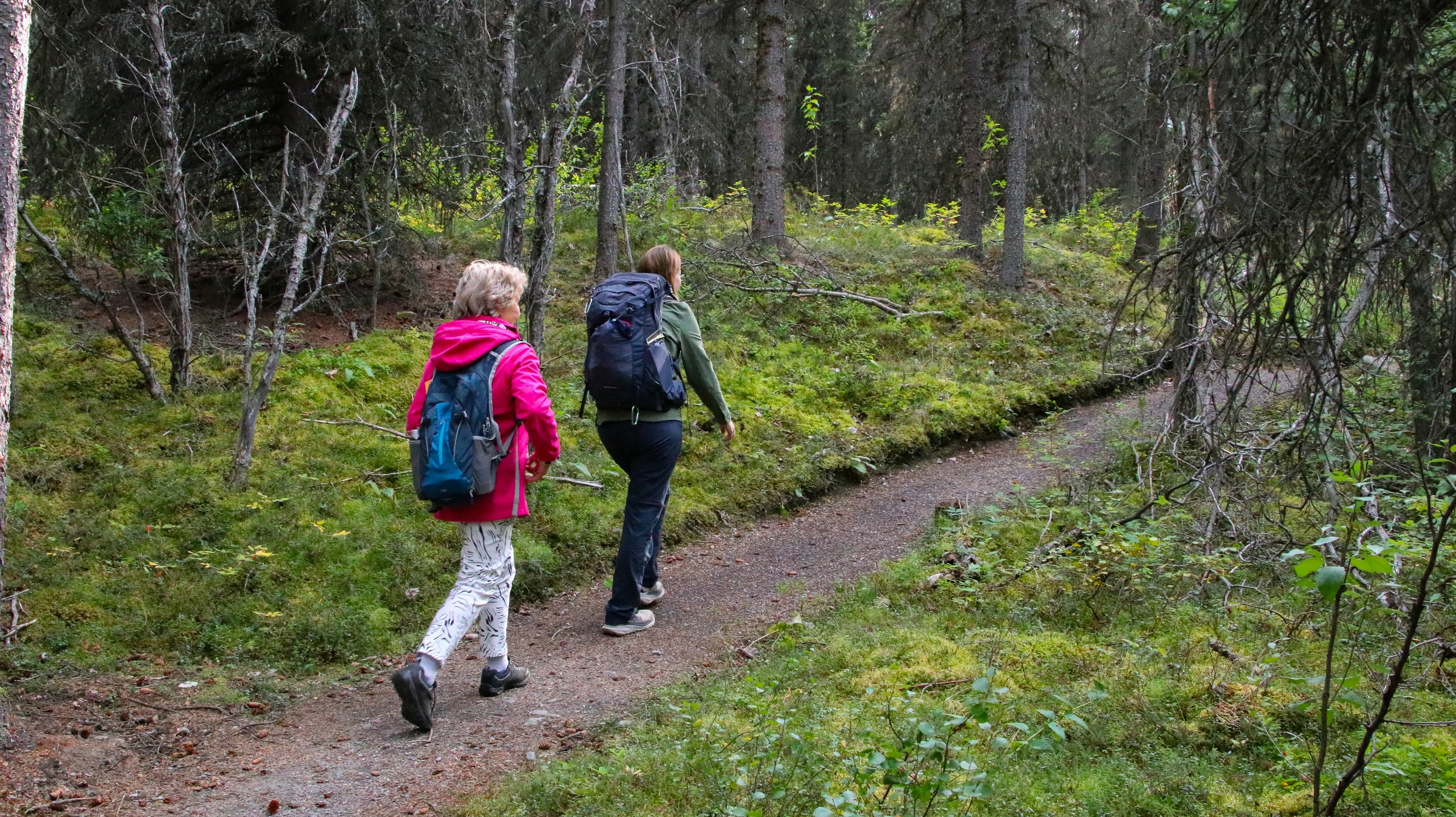
Dawn moves quietly in the Cairngorms, but it doesn’t tiptoe. It breathes. A soft, resin-scented breeze threads the Scots pines, nudging their needled arms into a low clatter. On the trail near Rothiemurchus, the forest keeps its own counsel—creaking trunks, the burr of a distant river, the tap-tap of a great spotted woodpecker staking claim. Then the path lifts, the trees thin, and the plateau shows itself: a broad shoulder of ancient granite that seems to rise not in peaks but in ideas—space, wind, light—drawn across the sky.
Trail Wisdom
Plan for wind and whiteouts
Weather flips fast on the plateau. Carry a map, compass, and a backup navigation app; in cloud, handrails like corrie rims help keep you oriented.
Protect ground-nesting birds
From March to August, keep dogs on a short lead in forests and moorland to avoid disturbing capercaillie, dotterel, and other sensitive species.
Start early for parking and calm
Arrive before 9 a.m. at popular trailheads like Coire Cas and Loch an Eilein for easier parking and lighter winds on the summits.
Beat the midges
In summer, carry repellent and a head net. Choose breezier ridgelines or walk at midday to avoid peak midge hours near lochs and forests.
Local Knowledge
Hidden Gems
- •Uath Lochans view trail above Glen Feshie for mirror-calm tarns and pine-framed vistas
- •Ryvoan Bothy and An Lochan Uaine loop for a quieter early-morning green lochan
Wildlife
Red deer (especially during the autumn rut), Osprey hunting over the River Spey
Conservation Note
Fragile montane plants and deep peat store carbon—stay on established paths where possible, pack out all waste, and give protected species like capercaillie space.
The Lairig Ghru has served as a cross-Highland pass for centuries, and the Cairngorms’ osprey revival began at Loch Garten in 1954 after decades of extirpation.
Seasonal Guide
spring
Best for: Cool, clear hiking, Forest wildlife sightings
Challenges: Snow patches on higher routes, Bird nesting restrictions for dogs
Bright, brisk days and greening pines. Expect lingering snow on corrie approaches and plan conservative routes early in the season.
summer
Best for: Long daylight missions, Family-friendly forest loops
Challenges: Midges at dusk, Changeable thunderstorms
Maximum daylight and warmer temperatures make high-plateau loops and loch circuits ideal. Carry repellent and extra water.
fall
Best for: Autumn color, Stable walking weather
Challenges: Shortening days, Early frosts on the plateau
Heather bronzes the hills and the forests glow. Cooler air and clearer light are perfect for photography and moderate summit days.
winter
Best for: Snowy corrie scenery, Mountaineering practice
Challenges: Ice, whiteouts, avalanche risk
A serious mountain environment. Bring winter kit and skills or go with a guide; low-level forest routes remain rewarding on stormy days.
Photographer's Notes
What to Bring
Waterproof hiking bootsEssential
Rocky, often wet trails demand sturdy, grippy footwear that can handle heather, bog, and boulders.
Breathable waterproof shellEssential
Wind and showers roll through quickly; a reliable shell preserves heat on exposed plateaus.
OS map & compass (and GPX backup)Essential
Navigation matters in low visibility—carry paper maps and know how to use them.
Midge head net and repellent
A lightweight head net and DEET/icaridin keep summer midges from hijacking rest stops by lochs and forests.
Common Questions
Do I need a guide to hike in the Cairngorms?
No, many routes are well-marked, but a guide is recommended for winter or high-plateau routes if you’re new to Scottish mountain navigation.
Are dogs allowed on the trails?
Yes, under the Scottish Outdoor Access Code. Keep dogs on a short lead March–August to protect ground-nesting birds and always near livestock.
What’s the weather really like up high?
Windy and changeable year-round. Expect rapid drops in temperature, sudden rain or snow, and poor visibility; always carry layers and navigation.
Can I reach the trailheads without a car?
Yes. ScotRail serves Aviemore, and local buses run to Glenmore and the Cairngorm ski area. Taxis and bike rentals fill the gaps.
Are permits or fees required?
No permits for hiking. Some car parks (e.g., Loch an Eilein, Coire Cas) charge fees that support path and facility maintenance.
Is wild camping allowed?
Yes, if done responsibly under the Outdoor Access Code—small groups, short stays, leave no trace, and avoid enclosed fields and sensitive habitats.
What to Pack
Waterproof boots for rocky, wet paths; a warm midlayer and shell for sudden weather shifts; map, compass, and fully charged phone with GPX routes; midge repellent/head net in summer to keep rest stops pleasant.
Did You Know
Cairngorms National Park is the largest in the UK at approximately 4,528 square kilometers and includes Ben Macdui (1,309 m), the nation’s second-highest peak.
Quick Travel Tips
Book lodging in Aviemore if you want rail access and easy bus links to Glenmore and Cairngorm; carry cash/coins for rural parking machines; check the Mountain Weather Information Service (MWIS) before setting out; plan loop routes to minimize backtracking in changeable weather.
Local Flavor
Toast the day at The Old Bridge Inn in Aviemore—good local ales, a fireplace, and hearty plates made for hungry hikers. Swing by Cairngorm Brewery for a take-home sampler, and stock picnic supplies at Rothiemurchus Farm Shop. Coffee and a roll at KJ’s Bothy Bakery set up an early start perfectly.
Logistics Snapshot
Closest airport: Inverness (INV), ~50 minutes by car or rail+bus to Aviemore. Trailheads: 15–25 minutes from Aviemore (Glenmore Visitor Centre, Coire Cas, Loch an Eilein). Cell service: patchy in glens and poor on the plateau—download maps offline. Permits: none for hiking; pay-and-display parking at popular car parks; follow the Outdoor Access Code for wild camping.
Sustainability Note
This high plateau and its peatlands lock away significant carbon—stick to established paths where possible, avoid cutting new braids around boggy sections, and keep dogs from disturbing sensitive wildlife and reindeer.
Continue Reading

Canyon Wave: Rafting Denali’s Glacial Heart on the Nenana River
The Nenana River doesn’t whisper—it urges you forward. On the Canyon Wave run, you’ll punch through crisp, glacial rapids beneath Denali’s ramparts, trading roadside views for a front-row seat to Alaska’s wild hydraulics. Cold water, big smiles, and a canyon that knows how to keep pace.
Healy, Alaska
Chasing Light in Denali: An Afternoon Hike Across Taiga and Tundra
Trade the tour bus for tundra. This guided afternoon hike threads from shadowed spruce to open ridgeline, where Denali’s valleys breathe wide and the wind calls the cadence. Come for the views, stay for the stories beneath your boots.
Denali Park, Alaska